

MAP 2015
🗺️ Pulincunnoo Grama Panchayat
Historical map collection – 2015
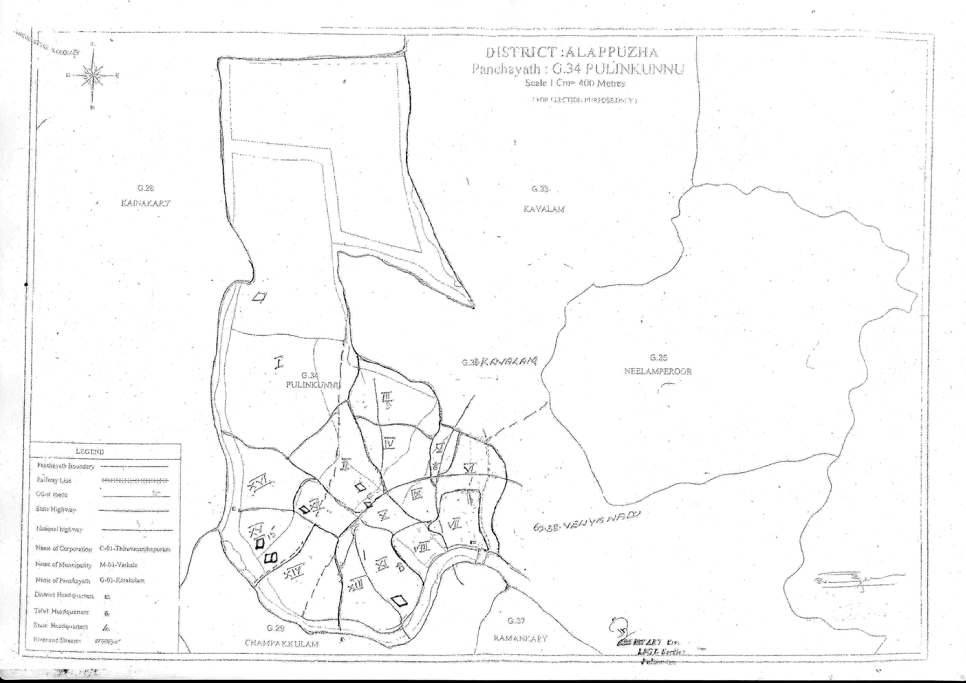
A detailed report of the 2015 historical map of Pulincunnoo Grama Panchayat, which records administrative and geological features.
Click on the image to view it in full size.
This map, prepared in 2015, is an important historical document that records the ward divisions, main roads, public institutions, and geographical boundaries of the then Pulincunnoo Grama Panchayat. It helps in understanding the developmental history of the panchayat.
📌 General information
District | Panchayat Code | Year | Scale |
|---|---|---|---|
| Alappuzha | G.34 | 2015 | 1 C.M. = 400 M. |
📖 A look back at history
This map is a record of the constitutional arrangements and infrastructure provision of the then Pulincunnoo Grama Panchayat. It also helps in comparing the present development achievements with the old constitutional conditions.
🏘️ Ward Delimitation
The wards are marked on the map with Roman numerals (I to XVI). This represents the 2015 electoral ward arrangement.
🧭 Neighboring areas
- North: Kavalam (G.33)
- South: Champakulam (G.29), Kainakari (G.37)
- East: Neelamperoor (G.35)
- West: Kainakari (G.26)
⭐ Main features of the map
✔ Ward boundaries
✔ Panchayat boundaries
✔ National highways
✔ State highways
✔ Other roads
✔ Schools
✔ Panchayat offices
✔ Places of worship
✔ Health centers
🏛️ Historical significance
This map is a historical testament to the development journey of Pulinkunnu Grama Panchayat. This document is useful for studies on the evolution of the Panchayat administration, infrastructure development, and geological features.
⚠️ Note
This map was prepared for election purposes in 2015. There may be changes to the current ward arrangements and infrastructure. This document is published for historical and informational purposes.